Using navigation on Garmin smart watches can be complicated because of multiple options and restrictions. This article describes briefly how I prepare planned hiking or bicycle tours with help of Komoot and Garmin Connect, both installed as App on an iPhone and on a Windows 10 desktop computer. A good and comprehensive introduction to the topic in German language can be found in the blog of Michael Hohenleitner on www.federweg.com.
Navigation on Garmin device
Garmin watches with GPS and feature to display maps, such as the models Epix 2 or Fenix 7, exhibit several grades to support navigation. They are in order of increasing comfort level:
- Only map and position display: Just use the map with your current position and navigate manually.
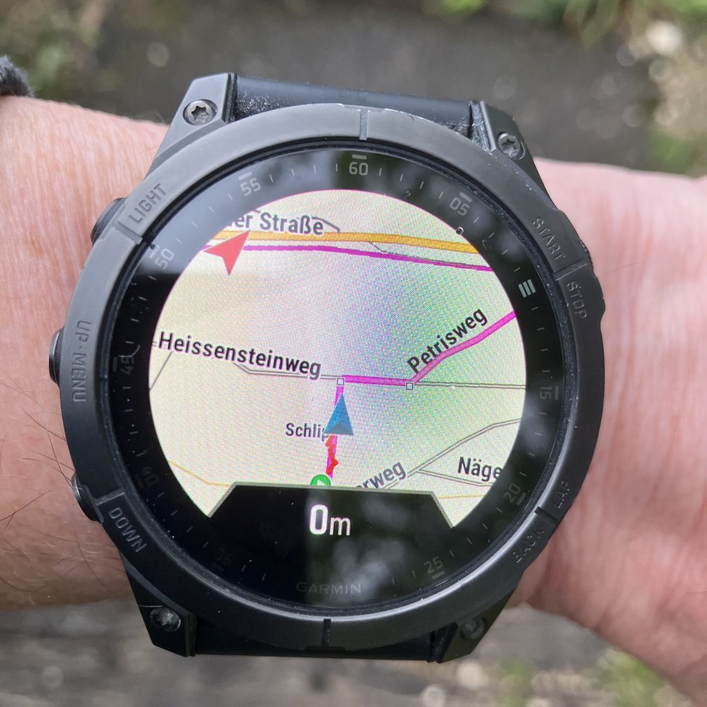
- Track and position display on map: Shows a track (in Garmin terminology „course“, in German „Strecke“) or a saved position on the map, together with the current position. On a course the distance to the destination is shown below the map. In case of deviations, the distance from the track is displayed.
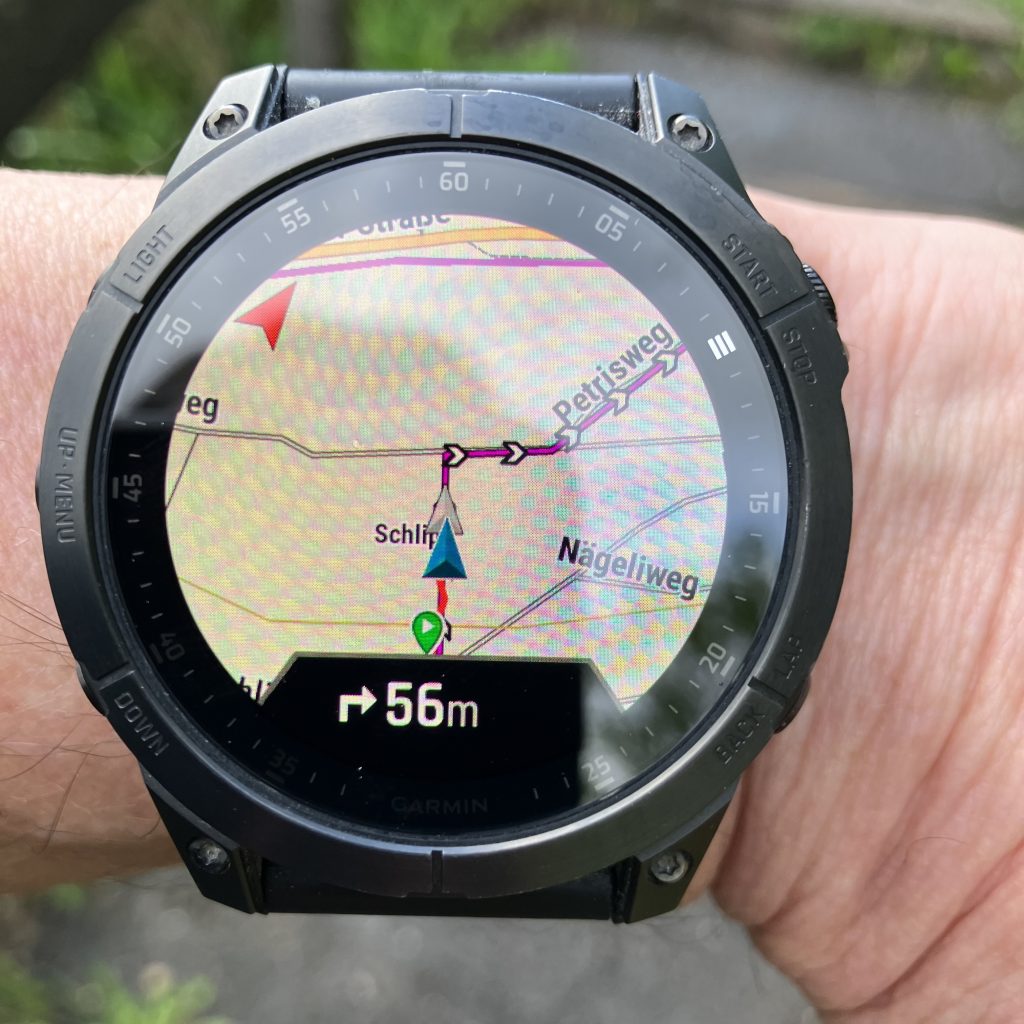
- Fixed course with turn by turn directions: During navigation, turn by turn directions are shown as small arrows below the map with track display and current position. Upcoming direction changes or deviations from the course can trigger an alert. Garmin can show besides the distance also the estimated arrival time for the destination.
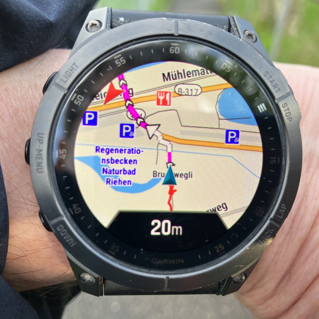
- Dynamic navigation: The course to the chosen destination is dynamically calculated from the current position und turn by turn directions are directly displayed with arrows in the map, together with additional information such as street names.


Turn by turn directions for fixed courses can be only displayed for courses uploaded through Garmin Connect to the watch, but not for tracks or routes directly uploaded as GPX file (e.g. from Base Camp).
I should note that also Garmin Explore could be used instead of Garmin Connect to link the mobile Garmin device to the Garmin account, but Garmin Connect appears more functional and stable. Connecting to both in parallel could lead to non synchronized data or even to data loss according to some internet sources.
Dynamic navigation is only possible if the watch itself calculates the navigation. This has the benefit of highest comfort, but comes at the price of long calculation times especially for destinations more than 10 km away. If dynamic navigation is desired for a predefined course (Strecke), then the routing option for courses must be changed for the selected activity from „use course“ (Strecke verwenden) to „use map“ (Karte verwenden). This option works however only for courses uploaded with Garmin Connect. Dynamic navigation can navigate only along paths available in the Garmin maps, the option „use map“ can therefore lead to drastic variation from the originally intended course, especially if the original course contains off-grid sections or has been created with a specialized map. To follow the course strictly, the option „use course“ must be set. Navigation options can be individually set for each activity. I have chosen the setting „use course“ for sport activities such as hiking or cycling (where following exactly the intended track is the wish), and „use map“ for the activity Navigation (where reaching the destination in shortest time is the main focus).
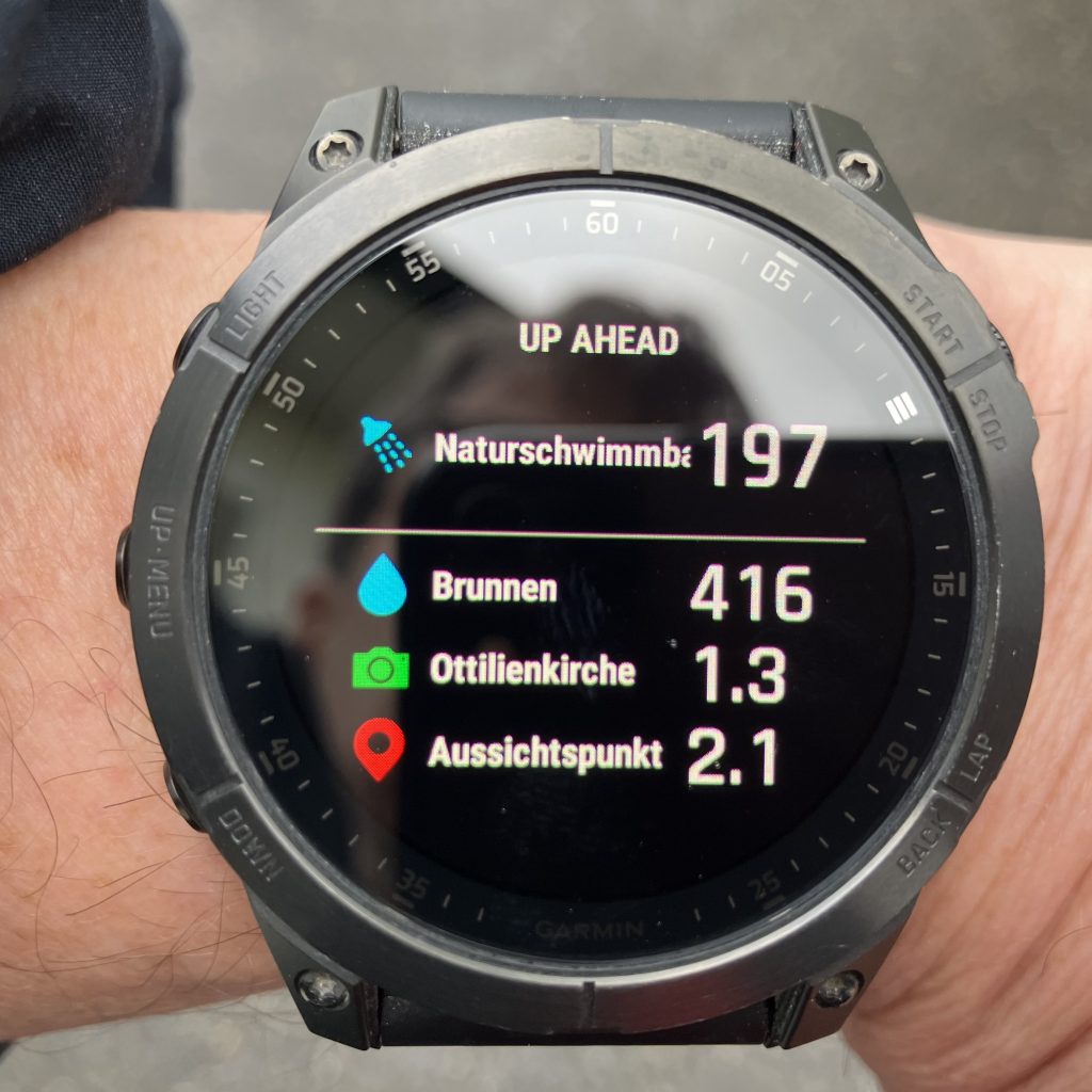
A nice feature on Garmin Epix 2 or Fenix 7 is the up-ahead screen during navigation. It displays a list with upcoming waypoints together with their distance from current location. This can make hikes more informative and entertaining (e.g. refreshment 1 km ahead) or supports sportive activities (e.g. sprint section starts in 300 m). The availability of the up-ahead function is unfortunately very limited, it can be only used for fixed courses where the waypoints to display in up-ahead are manually added with Garmin Connect, and then only with the navigation option „use course“. The up-ahead function is neither available for tracks not created and uploaded through Garmin Connect, nor during dynamic navigation, i.e. if the option „use map“ is set for navigation on a course. Interestingly (or annoying) are waypoints for courses created directly on the Garmin watch not displayed on the map or in up-ahead.
Integration of Komoot and Garmin
I prefer to do the planning of courses with Komoot. An account of Komoot can be connected to Garmin Connect. In this case, all courses planned in Komoot are synchronized to Garmin Connect and the Garmin watch, and all tracks recorded with the Garmin device are copied as completed tour to Komoot. The synchronization covers the track, its elevation profile and the duration, but unfortunately not the waypoints and other information, thus the up-ahead screen of the Garmin watch cannot be used. The Garmin device shows however the course on the map and turn by turn directions with arrows below the map. It is unfortunately not possibly to edit the imported course in Garmin Connect or to add waypoints (unless a copy, which is not synchronized with Komoot, is created). Another shortcoming is that after completion of the activity the tour is copied as plain track (without waypoints and other information) to Komoot under a different name and the original Komoot course (including waypoints and other information) remains as planned in Komoot, its status cannot be changed to completed.
Another option is to add the Komoot app to the Garmin mobile device through Garmin IQ. The app has been completely revamped in January 2023. It adds a Komoot screen accessible through the activities / favorites menue of the watch. From there you can view all planned tours or start a planned tour. The view contains details such as duration, elevation profile, difficulty level and path / underground types, but unfortunately no map. When starting the trip in the Komoot app on the watch, if offers the choices to use Garmin or Komoot for the navigation. Garmin shows the track on its map but without directions, Komoot shows direction arrows directly in a plot of the track but without a background map. Waypoints are not displayed in either option. And the tour remains in any case as planned in Komoot, the status cannot be changed to completed, even though the navigation has been completed and the activity has been saved. I find the Komoot app on Fenix 2 not really helpful and have removed it from the watch.
I use instead the following workaround with Komoot and the connected Garmin Connect account: I plan my tours normally in Komoot, which has better maps and planning information (difficulties, path type, underground type, points of interest, pictures) and offers easier and faster planning than doing it in Garmin Connect. Because I have connected my Komoot and Garmin accounts, the planned tours are synchronized to Garmin Connect and the watch. In case I want to include interesting waypoints in the navigation on a course created with Komoot and display them in the up-ahead screen, I prepare a copy in Garmin Connect and add the waypoints manually to this copy. The copy must be saved with a different name, I append typically „_WP“ (for waypoints) to the name from Komoot. The copy must be created in Garmin Connect, not directly on the Garmin watch. (Creating an editable copy of a course directly on the Garmin watch ignores original waypoints and adds a plentyfull of new waypoints, which are then all shown in up-ahead). If the course is later modified in Komoot, the entire procedure must be unfortunately repeated, or the modified course is used without waypoints and up-ahead display. After completion of the activity, it is automatically copied to Komoot as completed trip. In case the synchronization has failed, I download the completed tour as GPX file and upload it to Komoot; this can be only done within 4 weeks before it is automatically removed from Garmin Connect. Finally, I rename the completed trip in Komoot and delete then the planned tour.
