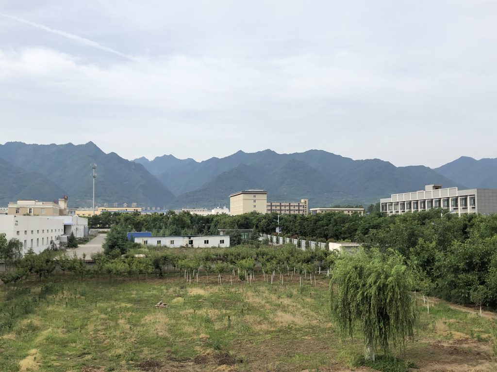
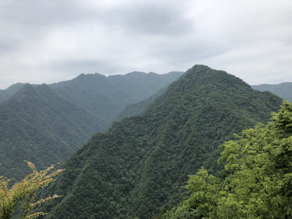
I have been fascinated by the view of the Qinling mountain range ( 秦岭 )approaching from the Wei river valley since I have first seen it in the year 1998. The visit of the Taoist temple Lou Guan Tai ( 楼观台寺 ) in that year is unforgettable for me, as it was remote, pristine and atmospheric (unfortunately the place has meanwhile developed to a major and commercial tourist spot). Since then, I have returned to that area, which is close to the hometown of my wife, every one or two years. But it took me until last week before I had the opportunity for a longer hike in that mountains.
We did park the car at a restaurant after entering the Qinling mountains in a narrow valley on a small local road.
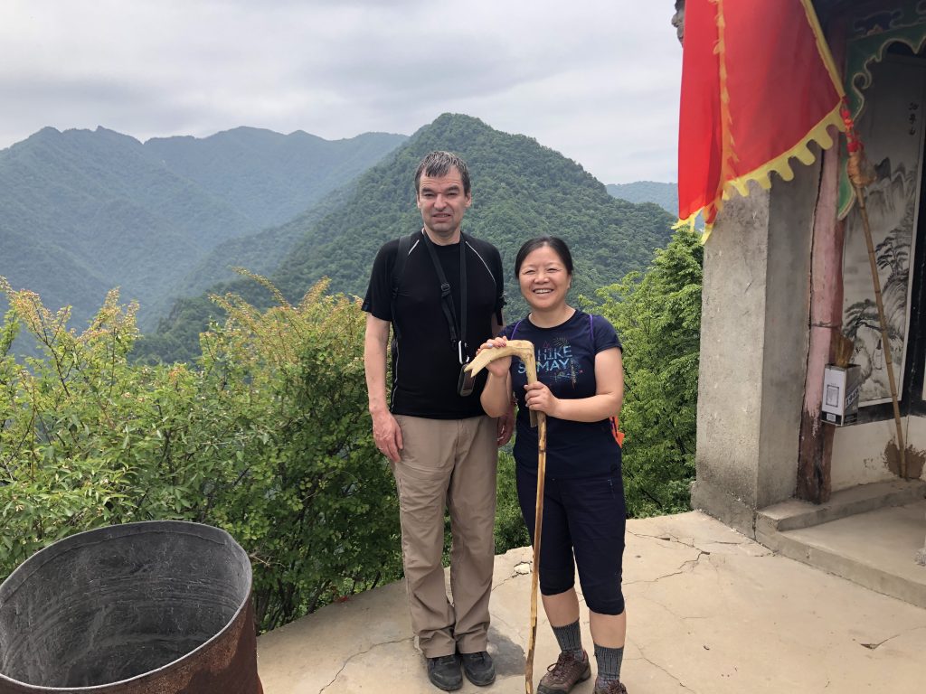
The hike takes with breaks approximately 6 hours and is 10 km long (round trip), with 1100 m climbing up and down. The path is narrow and well visible, but not marked or signposted.

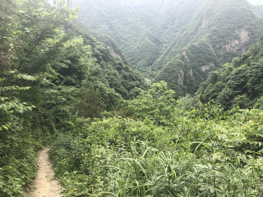
Path to Guan Yin temple
For those who want to do the same hike, here are the coordinates of major waypoints. If you want the GPX files, please drop me a short note.
N34 02.369 E108 32.579 Exit on Expressway G5 (Xi’an to Hanzhong), take road S107 towards West.
N34 03.887 E108 24.769 542 m Leave road S107 and turn South on narrow road into a mountain valley.
N33 59.962 E108 24.460 849 m Park car at restaurant, start of hiking. Direction is East-Southeast, first 50 m are stairs. The path is first following the small river and later steeply ascending the mountain ridge.
N33 59.395 E108 25.749 1738 m Small and lonely hiking path is merging with a more populated path coming from North (see comment later). Continue on that path uphill towards South until you reach the crest and continue on the crest further South. Don’t miss that turnoff on your way back.
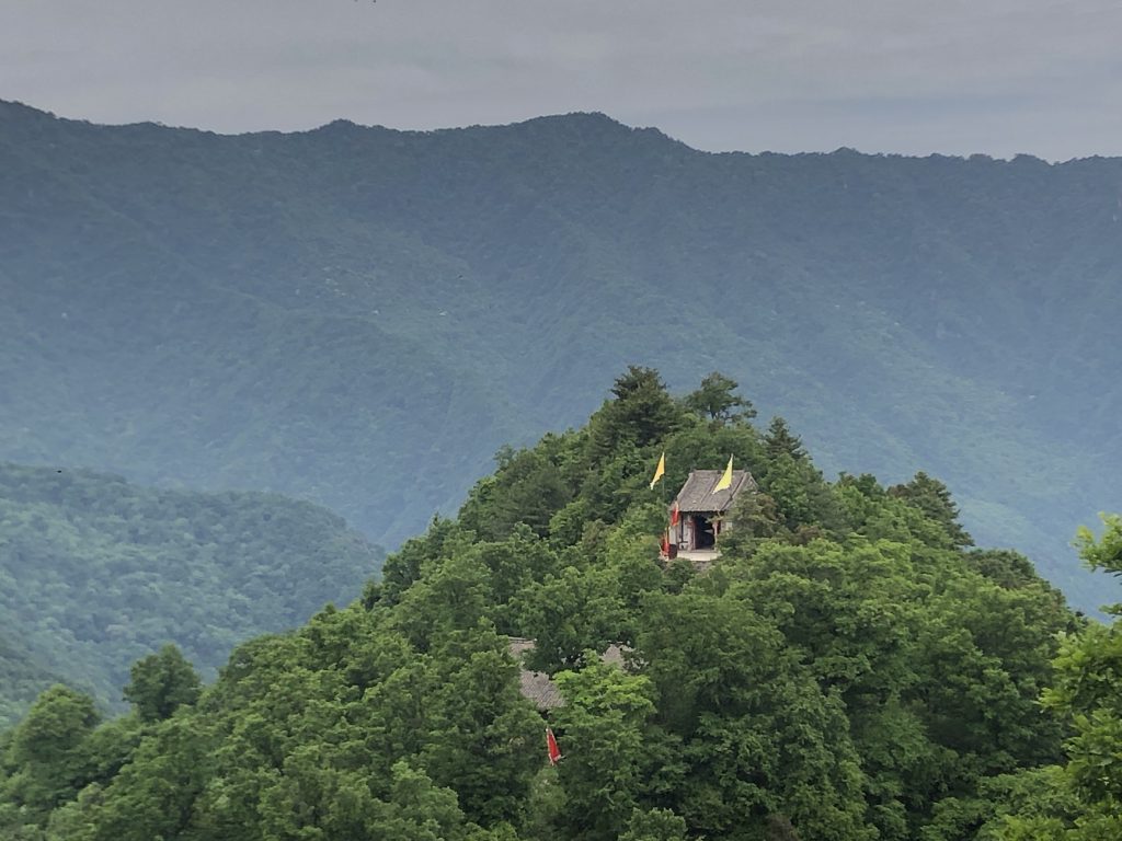
N33 59.034 E108 25.695 1959 m Guanyin temple ( 观音山 )
N33 58.920 E108 25.553 1936 m End of path at another small temple. Go back the same way from here.
We were told that the Guanyin temple can be also reached, with less climbing, from a higher starting point which we had visited three days earlier. Both ways merge at the forking point mentioned above. I add here the coordinates for the alternative approach:
N34 03.595 E108 28.254 529 m Leave main road S107 here and drive on narrow road uphill.
N34 02.181 E108 27.304 934 m We left the car here and started hiking. The road continues however to the area of the next temple.
N34 02.255 E108 26.824 1115 m Temple
N34 02.353 E108 26.807 1104 m Another temple with nice view to Xi’an and the Wei river valley.
N34 01.418 E108 26.503 1203 m We stopped hiking here and turned back to the car; it should be possible to continue to the Guanyin temple from her.